


Chemin du douanier sainte marine

castolin
User
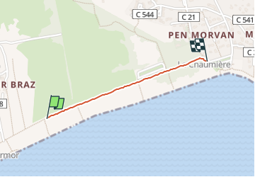

Length
787 m

Max alt
6 m

Uphill gradient
4 m
Km-Effort
840 m

Min alt
0 m

Downhill gradient
4 m
Boucle
No
Creation date :
2024-07-13 13:10:36.0
Updated on :
2024-07-13 13:22:48.376

FREE GPS app for hiking
 SityTrail
IGN / Geographical institutes
SityTrail Plus
The world is yours!
About
Trail of 787 m to be discovered at Brittany, Finistère, Combrit. This trail is proposed by castolin.
Description
Marche
Positioning
Country:
France
Region :
Brittany
Department/Province :
Finistère
Municipality :
Combrit
Location:
Unknown
Start:(Dec)
Start:(UTM)
415302 ; 5301702 (30T) N.
Comments