


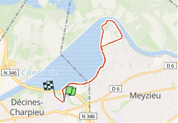
Boucle Grand Large

Marie-Hélène Luton 2
User

Length
7.1 km

Max alt
193 m

Uphill gradient
60 m
Km-Effort
7.9 km

Min alt
179 m

Downhill gradient
59 m
Boucle
No
Creation date :
2024-07-14 08:06:26.322
Updated on :
2024-07-14 10:07:57.24
1h33
Difficulty : Medium

FREE GPS app for hiking
 SityTrail
IGN / Geographical institutes
SityTrail Plus
The world is yours!
About
Trail Walking of 7.1 km to be discovered at Auvergne-Rhône-Alpes, Métropole de Lyon, Décines-Charpieu. This trail is proposed by Marie-Hélène Luton 2.
Positioning
Country:
France
Region :
Auvergne-Rhône-Alpes
Department/Province :
Métropole de Lyon
Municipality :
Décines-Charpieu
Location:
Unknown
Start:(Dec)
Start:(UTM)
653652 ; 5070923 (31T) N.
Comments