


Montsoreau - Candes-Saint-Martin Fontevraud-l'Abbaye - 24.4km 435m 5h40 (45mn) - 2024 07 14

Orcal37
User GUIDE
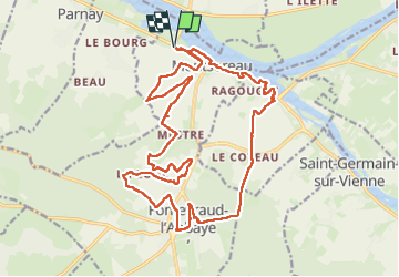

Length
24 km

Max alt
112 m

Uphill gradient
435 m
Km-Effort
30 km

Min alt
27 m

Downhill gradient
436 m
Boucle
Yes
Creation date :
2024-07-14 08:47:30.718
Updated on :
2024-07-15 12:10:24.121
5h40
Difficulty : Medium

FREE GPS app for hiking
 SityTrail
IGN / Geographical institutes
SityTrail Plus
The world is yours!
About
Trail Walking of 24 km to be discovered at Pays de la Loire, Maine-et-Loire, Montsoreau. This trail is proposed by Orcal37.
Description
Montsoreau - Candes-Saint-Martin - GR3 - Fontevraud-l'Abbaye - GRP Saumur Val-de-Loire - 24.4km 435m 5h40 (45mn) - 2024 07 14
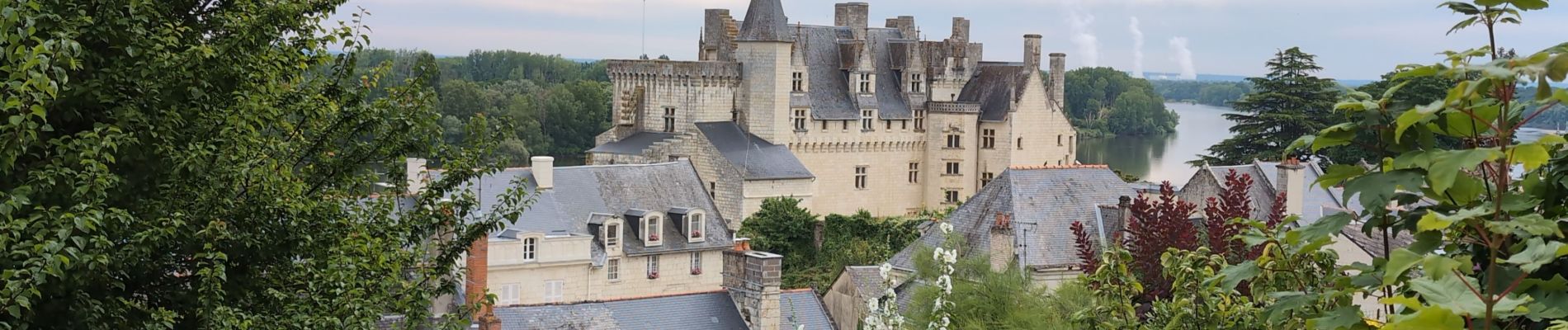
Photos
 - 2024 07 14 - Photo 1")
 - 2024 07 14 - Photo 2")
 - 2024 07 14 - Photo 3")
 - 2024 07 14 - Photo 4")
 - 2024 07 14 - Photo 5")
 - 2024 07 14 - Photo 6")
 - 2024 07 14 - Photo 7")
 - 2024 07 14 - Photo 8")
 - 2024 07 14 - Photo 9")
 - 2024 07 14 - Photo 10")
 - 2024 07 14 - Photo 11")
 - 2024 07 14 - Photo 12")
 - 2024 07 14 - Photo 13")
 - 2024 07 14 - Photo 14")
Positioning
Country:
France
Region :
Pays de la Loire
Department/Province :
Maine-et-Loire
Municipality :
Montsoreau
Location:
Unknown
Start:(Dec)
Start:(UTM)
276324 ; 5233862 (31T) N.
Comments