


Larochette-Scheidgen

edevuyst
User
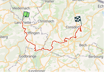

Length
25 km

Max alt
397 m

Uphill gradient
535 m
Km-Effort
32 km

Min alt
268 m

Downhill gradient
487 m
Boucle
No
Creation date :
2024-07-15 06:48:39.0
Updated on :
2024-07-15 12:40:58.664
5h10
Difficulty : Very difficult

FREE GPS app for hiking
 SityTrail
IGN / Geographical institutes
SityTrail Plus
The world is yours!
About
Trail Walking of 25 km to be discovered at Unknown, Canton Mersch, Larochette. This trail is proposed by edevuyst.
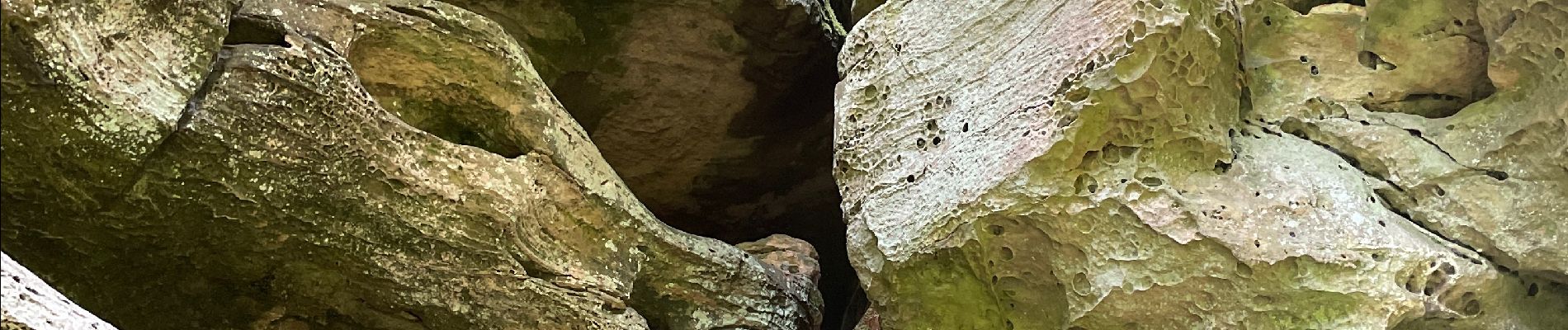
Photos


Positioning
Country:
Luxembourg
Region :
Unknown
Department/Province :
Canton Mersch
Municipality :
Larochette
Location:
Unknown
Start:(Dec)
Start:(UTM)
299784 ; 5518915 (32U) N.
Comments