


Prades

Roger Philippe Wallez
User GUIDE
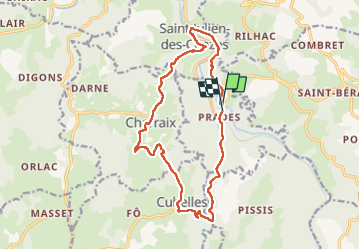

Length
16.9 km

Max alt
955 m

Uphill gradient
714 m
Km-Effort
26 km

Min alt
524 m

Downhill gradient
716 m
Boucle
Yes
Creation date :
2024-07-17 08:07:31.0
Updated on :
2024-07-17 14:14:22.207
6h05
Difficulty : Very difficult

FREE GPS app for hiking
 SityTrail
IGN / Geographical institutes
SityTrail Plus
The world is yours!
About
Trail Walking of 16.9 km to be discovered at Auvergne-Rhône-Alpes, Haute-Loire, Prades. This trail is proposed by Roger Philippe Wallez.
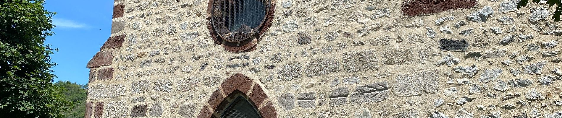
Photos


Positioning
Country:
France
Region :
Auvergne-Rhône-Alpes
Department/Province :
Haute-Loire
Municipality :
Prades
Location:
Unknown
Start:(Dec)
Start:(UTM)
546788 ; 4986430 (31T) N.
Comments