


Mullerthal Consdorf C5 Budelerkummer-Schelmenlay-Rammerlay (PVDB)

Peter.vdbergh
User GUIDE
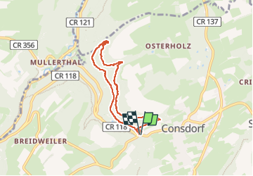

Length
6.3 km

Max alt
351 m

Uphill gradient
140 m
Km-Effort
8.1 km

Min alt
268 m

Downhill gradient
140 m
Boucle
Yes
Creation date :
2024-07-17 14:39:39.793
Updated on :
2024-07-23 19:01:54.403
1h51
Difficulty : Medium

FREE GPS app for hiking
 SityTrail
IGN / Geographical institutes
SityTrail Plus
The world is yours!
About
Trail Walking of 6.3 km to be discovered at Unknown, Canton Echternach, Consdorf. This trail is proposed by Peter.vdbergh.
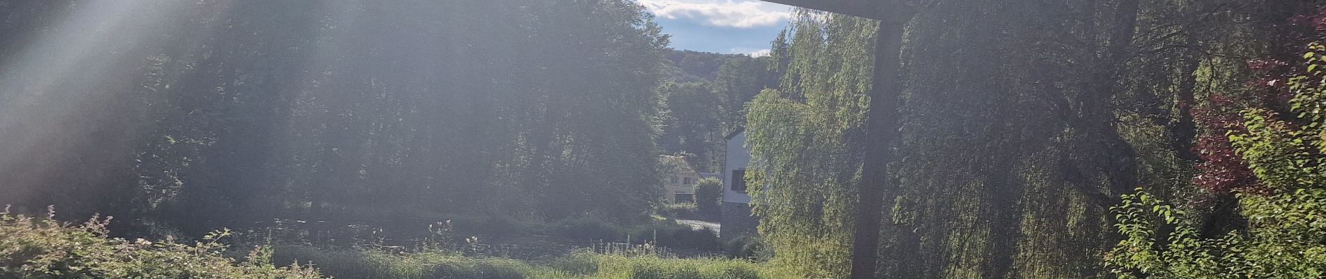
Photos
 - Photo 1")
 - Photo 2")
 - Photo 3")
 - Photo 4")
 - Photo 5")
 - Photo 6")
 - Photo 7")
 - Photo 8")
 - Photo 9")
 - Photo 10")
 - Photo 11")
 - Photo 12")
 - Photo 13")
 - Photo 14")
 - Photo 15")
Positioning
Country:
Luxembourg
Region :
Unknown
Department/Province :
Canton Echternach
Municipality :
Consdorf
Location:
Unknown
Start:(Dec)
Start:(UTM)
307634 ; 5517475 (32U) N.
Comments