


Forêt de Montravail

GabyG
User GUIDE


Length
2.5 km

Max alt
324 m

Uphill gradient
91 m
Km-Effort
3.7 km

Min alt
232 m

Downhill gradient
91 m
Boucle
Yes
Creation date :
2024-07-21 14:27:41.977
Updated on :
2024-07-21 18:59:45.069
50m
Difficulty : Easy

FREE GPS app for hiking
 SityTrail
IGN / Geographical institutes
SityTrail Plus
The world is yours!
About
Trail Walking of 2.5 km to be discovered at Martinique, Unknown, Sainte-Luce. This trail is proposed by GabyG.
Description
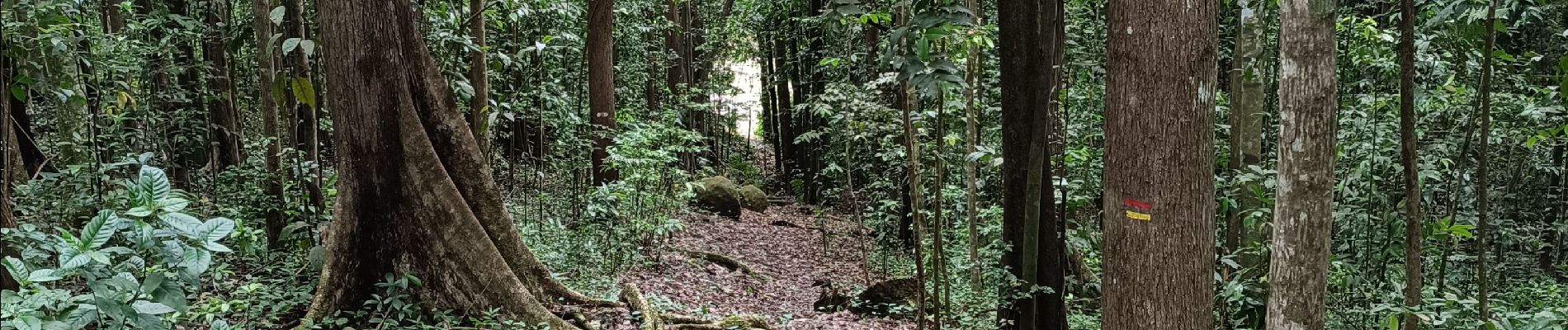
Belle randonnée avec ses différents circuits pédagogiques pour toutes personnes amoureuses de la nature.
Photos


Positioning
Country:
France
Region :
Martinique
Department/Province :
Unknown
Municipality :
Sainte-Luce
Location:
Unknown
Start:(Dec)
Start:(UTM)
723087 ; 1603697 (20P) N.
Comments