


2010-07-15 - 18h46m44

sengokus
User

Length
8.3 km

Max alt
42 m

Uphill gradient
43 m
Km-Effort
8.9 km

Min alt
0 m

Downhill gradient
75 m
Boucle
No
Creation date :
2014-12-10 00:00:00.0
Updated on :
2014-12-10 00:00:00.0
--
Difficulty : Unknown

FREE GPS app for hiking
 SityTrail
IGN / Geographical institutes
SityTrail World
The world is yours!
About
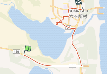
Trail Other activity of 8.3 km to be discovered at Aomori Prefecture, Kamikita County. This trail is proposed by sengokus.
Positioning
Country:
Japan
Region :
Aomori Prefecture
Department/Province :
Kamikita County
Municipality :
Unknown
Location:
Unknown
Start:(Dec)
Start:(UTM)
528844 ; 4533118 (54T) N.
Comments
Trails nearby