


PR_56_Moustoir-Ac_BA_02_Les-Cretes_Circuit1b_20240724

patrickdanilo
User


Length
16.3 km

Max alt
175 m

Uphill gradient
362 m
Km-Effort
21 km

Min alt
76 m

Downhill gradient
362 m
Boucle
Yes
Creation date :
2024-07-24 06:37:27.475
Updated on :
2025-07-28 12:14:04.094
3h28
Difficulty : Medium

FREE GPS app for hiking
 SityTrail
IGN / Geographical institutes
SityTrail Plus
The world is yours!
About
Trail Walking of 16.3 km to be discovered at Brittany, Morbihan, Moustoir-Ac. This trail is proposed by patrickdanilo.
Description
Randonnée Marche de 16,3 km à découvrir à Bretagne, Morbihan, Moustoir-Ac. Cette randonnée est proposée par patrickdanilo.
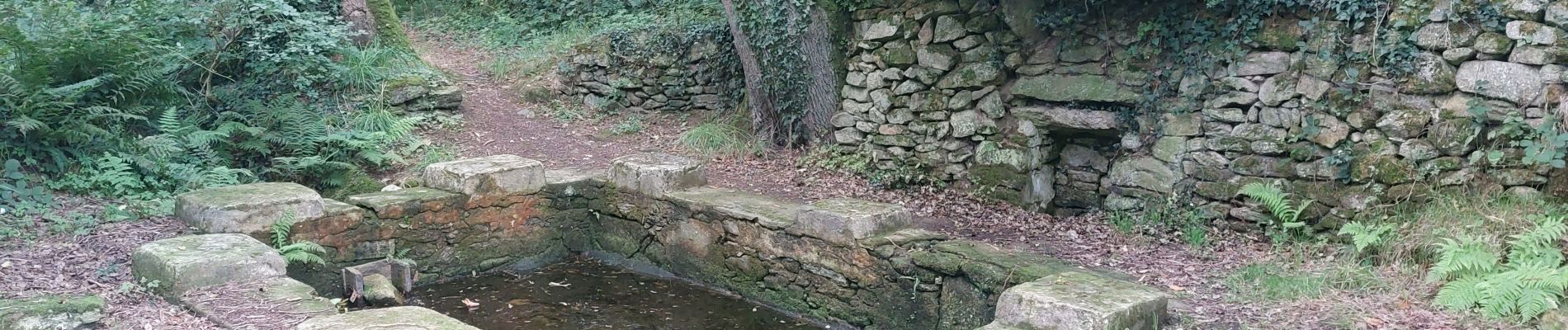
Photos


Positioning
Country:
France
Region :
Brittany
Department/Province :
Morbihan
Municipality :
Moustoir-Ac
Location:
Unknown
Start:(Dec)
Start:(UTM)
512512 ; 5300215 (30T) N.
Comments