


24_7_24

baudon
User
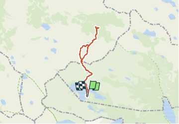

Length
12.1 km

Max alt
2511 m

Uphill gradient
734 m
Km-Effort
22 km

Min alt
2143 m

Downhill gradient
735 m
Boucle
Yes
Creation date :
2024-07-24 06:45:13.158
Updated on :
2024-07-24 16:38:26.04
9h50
Difficulty : Very difficult

FREE GPS app for hiking
 SityTrail
IGN / Geographical institutes
SityTrail Plus
The world is yours!
About
Trail Walking of 12.1 km to be discovered at Occitania, Hautespyrenees, Vielle-Aure. This trail is proposed by baudon.
Positioning
Country:
France
Region :
Occitania
Department/Province :
Hautespyrenees
Municipality :
Vielle-Aure
Location:
Unknown
Start:(Dec)
Start:(UTM)
266637 ; 4747025 (31T) N.
Comments