


2024-04-15_L'Aupillon

Christiancordin
User
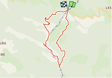

Length
8.3 km

Max alt
1717 m

Uphill gradient
466 m
Km-Effort
14.5 km

Min alt
1319 m

Downhill gradient
467 m
Boucle
Yes
Creation date :
2024-07-26 16:03:44.878
Updated on :
2024-07-26 16:20:42.951
3h17
Difficulty : Medium

FREE GPS app for hiking
 SityTrail
IGN / Geographical institutes
SityTrail Plus
The world is yours!
About
Trail On foot of 8.3 km to be discovered at Auvergne-Rhône-Alpes, Drôme, Lus-la-Croix-Haute. This trail is proposed by Christiancordin.
Description
D col de Grimone1319m, forêt domaniale du Jocou, col des Prêtres, l'Aupillon 1744m, col de Lus, Combefère, col de Grimone.
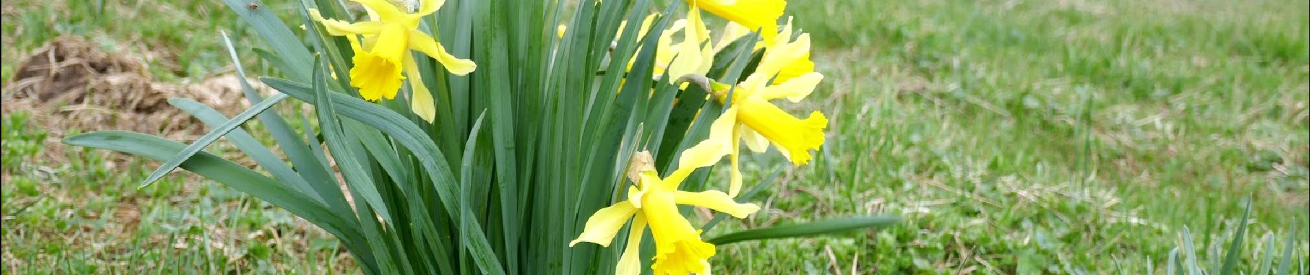
Photos


Positioning
Country:
France
Region :
Auvergne-Rhône-Alpes
Department/Province :
Drôme
Municipality :
Lus-la-Croix-Haute
Location:
Unknown
Start:(Dec)
Start:(UTM)
710288 ; 4952067 (31T) N.
Comments