


Halspelschiedt Roppeviller Colorado

sgazaix
User
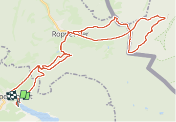

Length
15.2 km

Max alt
408 m

Uphill gradient
457 m
Km-Effort
21 km

Min alt
269 m

Downhill gradient
456 m
Boucle
Yes
Creation date :
2024-07-28 07:57:43.455
Updated on :
2024-07-28 12:26:20.728
3h32
Difficulty : Easy

FREE GPS app for hiking
 SityTrail
IGN / Geographical institutes
SityTrail Plus
The world is yours!
About
Trail Walking of 15.2 km to be discovered at Grand Est, Moselle, Haspelschiedt. This trail is proposed by sgazaix.
Description
pas trop d'aller-retour
Positioning
Country:
France
Region :
Grand Est
Department/Province :
Moselle
Municipality :
Haspelschiedt
Location:
Unknown
Start:(Dec)
Start:(UTM)
389751 ; 5437996 (32U) N.
Comments