Trail Walking Liège - 🚂 à 🚂 Angleur/Esneux par le GR57 - Photo

🚂 à 🚂 Angleur/Esneux par le GR57

© OpenStreetMap contributors
Length
Length
16.6 km
Max alt
Max alt
268 m
Uphill gradient
Uphill gradient
417 m
Km-Effort
Km-Effort  
22 km
Min alt
Min alt
63 m
Downhill gradient
Downhill gradient
395 m
Boucle
Boucle
No
Creation date :
2024-07-28 07:53:38.379
Updated on :
2024-07-28 18:36:00.4

(2 Reviews)

Walking
Walking
2h56
Difficulty : Medium

Scan this QR Code to open this trail in the SityTrail application

FREE GPS app for hiking

Logo SityTrail SityTrail

IGN / Geographical institutes

Download SityTrail from the App Store Download SityTrail from Google Play

Logo SityTrail SityTrail Plus

The world is yours!

Download SityTrail from the App Store Download SityTrail from Google Play Download SityTrail on Huawei AppGallery

About

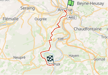
Trail Walking of 16.6 km to be discovered at Wallonia, Liège, Liège. This trail is proposed by Je vous emmène sur mes chemins .

Description

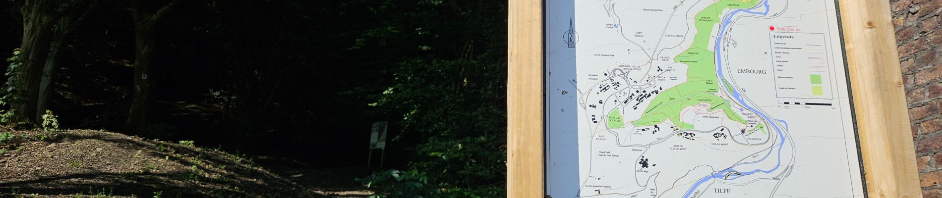
De 🚂 à 🚂 entre Angleur et Esneux par le #GR57, de la vallée de la Vesdre à la vallée de l'Ourthe en passant par la réserve naturelle du Sart-Tilman, le Grand Site de la Boucle de l'Ourthe avec la Roche-aux-Faucons.
...

Elevation profile

Photos

21 photos in total. Please click on a photo to see them all in the gallery.

Positioning

Country:
Belgium
Region :
Wallonia
Department/Province :
Liège
Municipality :
Liège
Location:
Angleur
Start:(UTM)
683863 ; 5610014 (31U) N.

Comments

Please log in to post a review or rate the element


Merci !


Close
My subscriptions