


rando La Motte Chalancon

Pascal84
User
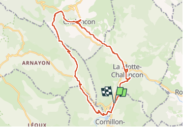

Length
20 km

Max alt
1016 m

Uphill gradient
642 m
Km-Effort
29 km

Min alt
516 m

Downhill gradient
642 m
Boucle
Yes
Creation date :
2024-07-28 06:37:54.19
Updated on :
2024-07-28 13:09:48.776
6h27
Difficulty : Difficult

FREE GPS app for hiking
 SityTrail
IGN / Geographical institutes
SityTrail Plus
The world is yours!
About
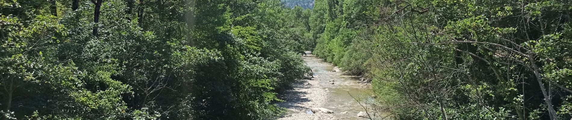
Trail Walking of 20 km to be discovered at Auvergne-Rhône-Alpes, Drôme, Cornillon-sur-l'Oule. This trail is proposed by Pascal84.
Photos


Positioning
Country:
France
Region :
Auvergne-Rhône-Alpes
Department/Province :
Drôme
Municipality :
Cornillon-sur-l'Oule
Location:
Unknown
Start:(Dec)
Start:(UTM)
688585 ; 4926751 (31T) N.
Comments