


mlntagny

maclobar
User
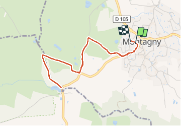

Length
5 km

Max alt
298 m

Uphill gradient
44 m
Km-Effort
5.6 km

Min alt
283 m

Downhill gradient
46 m
Boucle
Yes
Creation date :
2024-07-29 10:28:47.242
Updated on :
2024-07-29 11:29:04.564
1h00
Difficulty : Easy

FREE GPS app for hiking
 SityTrail
IGN / Geographical institutes
SityTrail Plus
The world is yours!
About
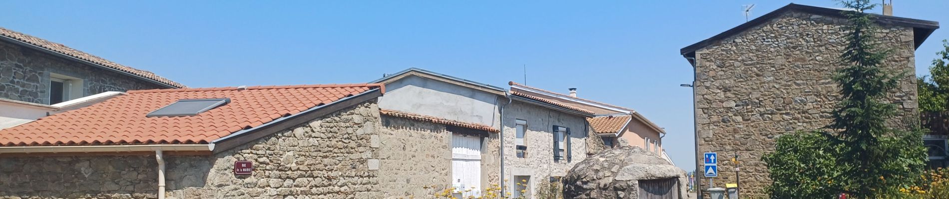
Trail Walking of 5 km to be discovered at Auvergne-Rhône-Alpes, Rhône, Montagny. This trail is proposed by maclobar.
Description
courte escapade il fait très chaud
Photos

Positioning
Country:
France
Region :
Auvergne-Rhône-Alpes
Department/Province :
Rhône
Municipality :
Montagny
Location:
Unknown
Start:(Dec)
Start:(UTM)
636174 ; 5053400 (31T) N.
Comments