


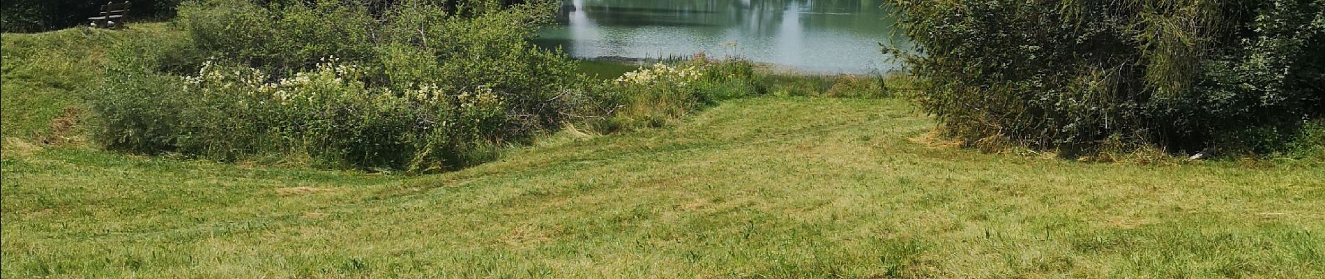
étang long

suzanne.bron
User
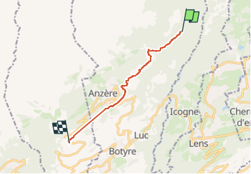

Length
7.7 km

Max alt
1486 m

Uphill gradient
208 m
Km-Effort
10.7 km

Min alt
1313 m

Downhill gradient
288 m
Boucle
No
Creation date :
2024-08-02 07:23:09.243
Updated on :
2024-08-02 10:02:16.47
2h04
Difficulty : Medium

FREE GPS app for hiking
 SityTrail
IGN / Geographical institutes
SityTrail Plus
The world is yours!
About
Trail Walking of 7.7 km to be discovered at Valais/Wallis, Hérens, Ayent. This trail is proposed by suzanne.bron.
Photos


Positioning
Country:
Switzerland
Region :
Valais/Wallis
Department/Province :
Hérens
Municipality :
Ayent
Location:
Unknown
Start:(Dec)
Start:(UTM)
379737 ; 5130604 (32T) N.
Comments