


Pas de l’Oeille

GOHIER
User
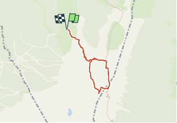

Length
6.2 km

Max alt
2040 m

Uphill gradient
381 m
Km-Effort
11.3 km

Min alt
1722 m

Downhill gradient
381 m
Boucle
Yes
Creation date :
2024-08-04 07:47:28.0
Updated on :
2024-08-04 12:29:02.6

FREE GPS app for hiking
 SityTrail
IGN / Geographical institutes
SityTrail Plus
The world is yours!
About
Trail of 6.2 km to be discovered at Auvergne-Rhône-Alpes, Isère, Villard-de-Lans. This trail is proposed by GOHIER.
Description
Avec Rémi et Patricia
Positioning
Country:
France
Region :
Auvergne-Rhône-Alpes
Department/Province :
Isère
Municipality :
Villard-de-Lans
Location:
Unknown
Start:(Dec)
Start:(UTM)
702413 ; 4989461 (31T) N.
Comments