


GR_34_DA_22_Paimpol_Ploubaznalec_20240803

patrickdanilo
User
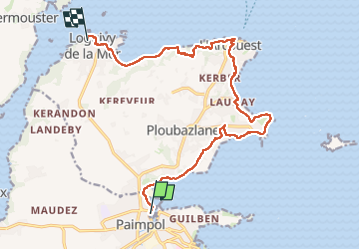

Length
14.5 km

Max alt
55 m

Uphill gradient
258 m
Km-Effort
17.9 km

Min alt
-1 m

Downhill gradient
253 m
Boucle
No
Creation date :
2024-08-03 07:30:13.151
Updated on :
2024-09-18 17:04:20.104
4h04
Difficulty : Easy

FREE GPS app for hiking
 SityTrail
IGN / Geographical institutes
SityTrail Plus
The world is yours!
About
Trail Walking of 14.5 km to be discovered at Brittany, Côtes-d'Armor, Paimpol. This trail is proposed by patrickdanilo.
Description
Randonnée Marche de 14,6 km à découvrir à Bretagne, Côtes-d'Armor, Paimpol. Cette randonnée est proposée par patrickdanilo.
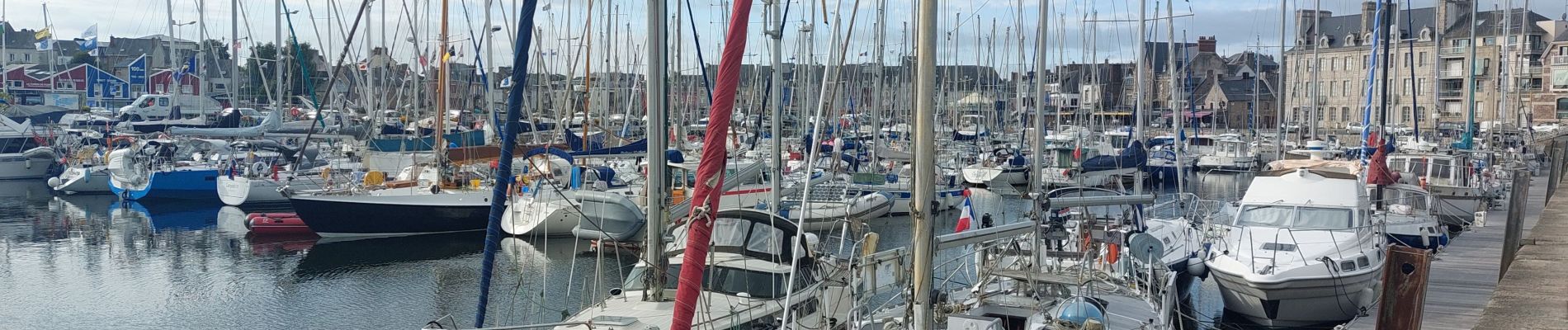
Photos


27 photos in total. Please click on a photo to see them all in the gallery.
Positioning
Country:
France
Region :
Brittany
Department/Province :
Côtes-d'Armor
Municipality :
Paimpol
Location:
Unknown
Start:(Dec)
Start:(UTM)
496706 ; 5403220 (30U) N.
Comments