


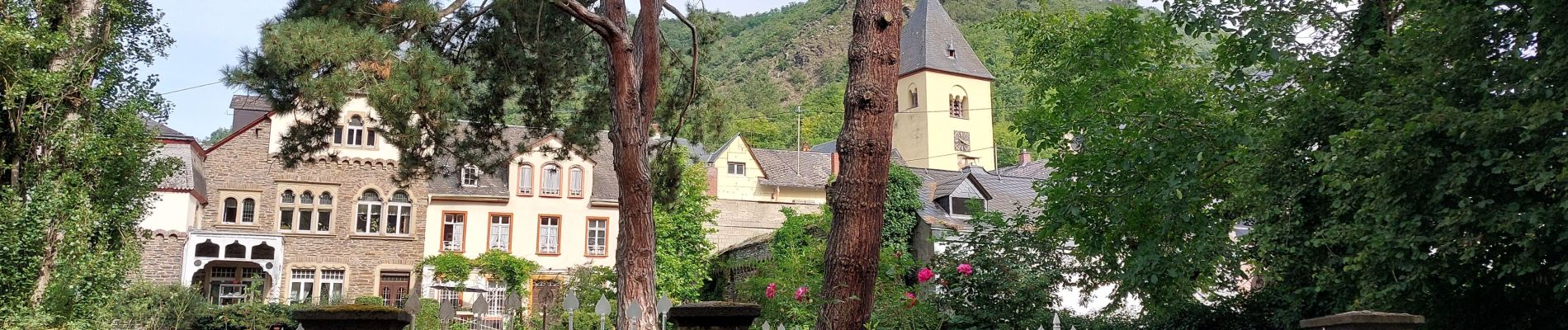
ringelsteiner muhle vers village Moselkern

Maca8284
User

Length
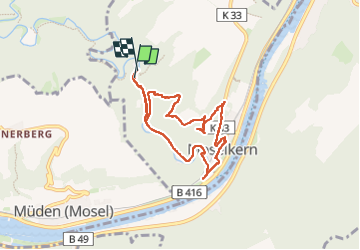
7.1 km

Max alt
264 m

Uphill gradient
260 m
Km-Effort
10.6 km

Min alt
78 m

Downhill gradient
264 m
Boucle
Yes
Creation date :
2024-08-07 06:40:30.554
Updated on :
2024-08-07 08:58:26.397
2h17
Difficulty : Medium

FREE GPS app for hiking
 SityTrail
IGN / Geographical institutes
SityTrail Plus
The world is yours!
About
Trail Walking of 7.1 km to be discovered at Rhineland-Palatinate, Landkreis Cochem-Zell, Moselkern. This trail is proposed by Maca8284.
Description
points de vue sur la Moselle
Photos


Positioning
Country:
Germany
Region :
Rhineland-Palatinate
Department/Province :
Landkreis Cochem-Zell
Municipality :
Moselkern
Location:
Unknown
Start:(Dec)
Start:(UTM)
382564 ; 5562226 (32U) N.
Comments