


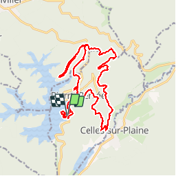


30 km | 38 km-effort


User


FREE GPS app for hiking
 SityTrail
IGN / Geographical institutes
SityTrail World
The world is yours!
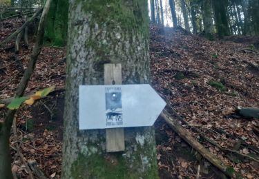
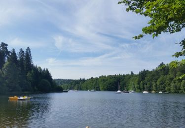
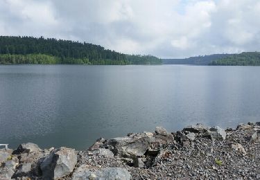
Trail Walking of 20 km to be discovered at Grand Est, Meurthe-et-Moselle, Pierre-Percée. This trail is proposed by mitch1915.


Walking
Walking
Walking

Horseback riding

Mountain bike
Mountain bike
Mountain bike
Mountain bike
Bicycle tourism