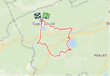
Besse_Lac_Pavin

jagarnier
User GUIDE

Length
13.4 km

Max alt
1461 m

Uphill gradient
474 m
Km-Effort
19.8 km

Min alt
1159 m

Downhill gradient
477 m
Boucle
Yes
Creation date :
2024-08-14 04:10:17.251
Updated on :
2025-05-27 07:20:06.132
4h30
Difficulty : Medium

FREE GPS app for hiking
 SityTrail
IGN / Geographical institutes
SityTrail Plus
The world is yours!
About
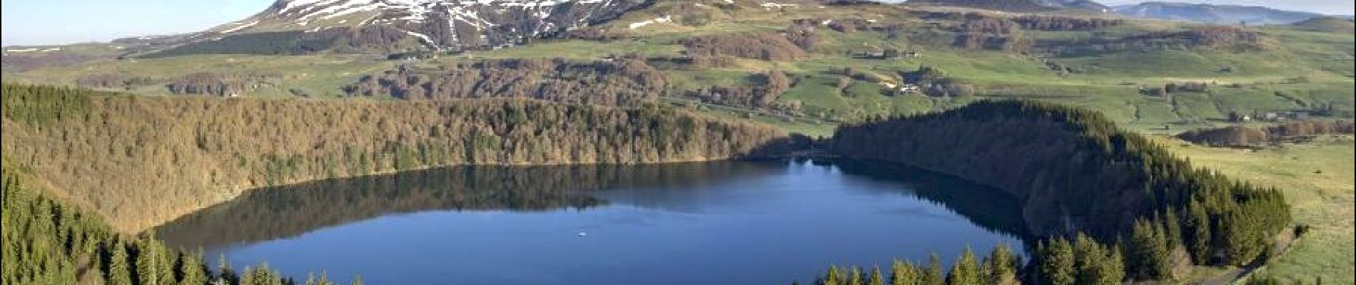
Trail Walking of 13.4 km to be discovered at Auvergne-Rhône-Alpes, Puy-de-Dôme, Besse-et-Saint-Anastaise. This trail is proposed by jagarnier.
Photos

Positioning
Country:
France
Region :
Auvergne-Rhône-Alpes
Department/Province :
Puy-de-Dôme
Municipality :
Besse-et-Saint-Anastaise
Location:
Unknown
Start:(Dec)
Start:(UTM)
488625 ; 5039862 (31T) N.
Comments