


Chissay-en-Touraine - Zig zag Beaune les Durdents - 18.2km 330m 3h50 - 2024 08 14

Orcal37
User GUIDE
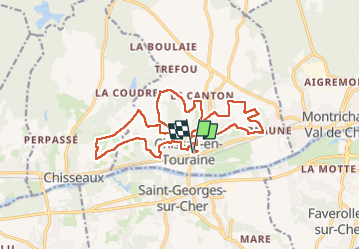

Length
17.8 km

Max alt
132 m

Uphill gradient
327 m
Km-Effort
22 km

Min alt
67 m

Downhill gradient
326 m
Boucle
Yes
Creation date :
2024-08-14 07:13:55.59
Updated on :
2024-08-17 13:40:57.418
3h50
Difficulty : Medium

FREE GPS app for hiking
 SityTrail
IGN / Geographical institutes
SityTrail Plus
The world is yours!
About
Trail Walking of 17.8 km to be discovered at Centre-Loire Valley, Loir-et-Cher, Chissay-en-Touraine. This trail is proposed by Orcal37.
Description
Chissay-en-Touraine - Zig zag - Château - Beaune - Site archéologique - les Durdents - 17.85km (après suppression d'un aller-retour de 350m) 330m 3h50 - 2024 08 14
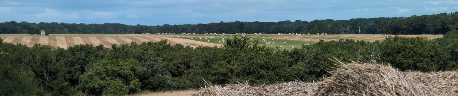
Photos


Positioning
Country:
France
Region :
Centre-Loire Valley
Department/Province :
Loir-et-Cher
Municipality :
Chissay-en-Touraine
Location:
Unknown
Start:(Dec)
Start:(UTM)
359055 ; 5244242 (31T) N.
Comments