


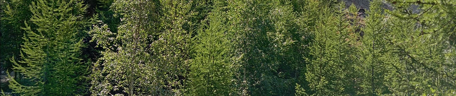
Chamonix, cascade du dard, glacier des boissons

FLORENSAC
User
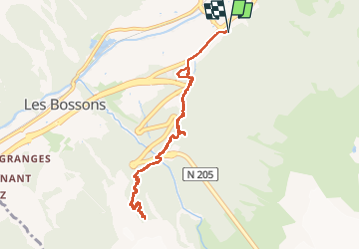

Length
9.4 km

Max alt
1565 m

Uphill gradient
585 m
Km-Effort
17.2 km

Min alt
1031 m

Downhill gradient
584 m
Boucle
Yes
Creation date :
2024-08-15 07:16:51.957
Updated on :
2024-08-15 11:45:15.37
4h24
Difficulty : Difficult

FREE GPS app for hiking
 SityTrail
IGN / Geographical institutes
SityTrail Plus
The world is yours!
About
Trail Walking of 9.4 km to be discovered at Auvergne-Rhône-Alpes, Upper Savoy, Chamonix-Mont-Blanc. This trail is proposed by FLORENSAC.
Description
tres belle rando qu on peut raccourcir
on peut manger au chalet de la cascade
Photos


Positioning
Country:
France
Region :
Auvergne-Rhône-Alpes
Department/Province :
Upper Savoy
Municipality :
Chamonix-Mont-Blanc
Location:
Unknown
Start:(Dec)
Start:(UTM)
334845 ; 5086922 (32T) N.
Comments