


mont rond

newman
User
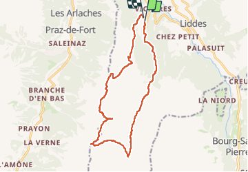

Length
16.5 km

Max alt
2556 m

Uphill gradient
1122 m
Km-Effort
31 km

Min alt
1577 m

Downhill gradient
1106 m
Boucle
Yes
Creation date :
2024-08-15 04:53:03.341
Updated on :
2024-08-15 12:42:30.77
5h29
Difficulty : Very difficult

FREE GPS app for hiking
 SityTrail
IGN / Geographical institutes
SityTrail Plus
The world is yours!
About
Trail Walking of 16.5 km to be discovered at Valais/Wallis, Entremont, Liddes. This trail is proposed by newman.
Positioning
Country:
Switzerland
Region :
Valais/Wallis
Department/Province :
Entremont
Municipality :
Liddes
Location:
Unknown
Start:(Dec)
Start:(UTM)
357679 ; 5094872 (32T) N.
Comments