


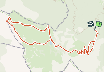
Pic de Morgon depuis la Fontaine de l'Ours

cron
User

Length
16.8 km

Max alt
2311 m

Uphill gradient
1156 m
Km-Effort
32 km

Min alt
1581 m

Downhill gradient
1157 m
Boucle
Yes
Creation date :
2024-08-15 17:00:08.492
Updated on :
2024-08-15 17:00:49.397
7h19
Difficulty : Difficult

FREE GPS app for hiking
 SityTrail
IGN / Geographical institutes
SityTrail Plus
The world is yours!
About
Trail Walking of 16.8 km to be discovered at Provence-Alpes-Côte d'Azur, Hautes-Alpes, Crots. This trail is proposed by cron.
Positioning
Country:
France
Region :
Provence-Alpes-Côte d'Azur
Department/Province :
Hautes-Alpes
Municipality :
Crots
Location:
Unknown
Start:(Dec)
Start:(UTM)
297200 ; 4929219 (32T) N.
Comments