


Arvieux Les Escoyères

ARVIEU
User

Length
12.8 km

Max alt
2497 m

Uphill gradient
941 m
Km-Effort
25 km

Min alt
1529 m

Downhill gradient
969 m
Boucle
No
Creation date :
2024-08-17 15:52:02.62
Updated on :
2024-08-17 15:54:54.26
6h30
Difficulty : Very difficult

FREE GPS app for hiking
 SityTrail
IGN / Geographical institutes
SityTrail Plus
The world is yours!
About
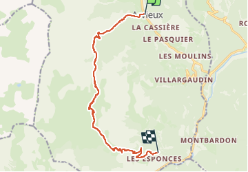
Trail Walking of 12.8 km to be discovered at Provence-Alpes-Côte d'Azur, Hautes-Alpes, Arvieux. This trail is proposed by ARVIEU.
Positioning
Country:
France
Region :
Provence-Alpes-Côte d'Azur
Department/Province :
Hautes-Alpes
Municipality :
Arvieux
Location:
Unknown
Start:(Dec)
Start:(UTM)
321003 ; 4959685 (32T) N.
Comments