


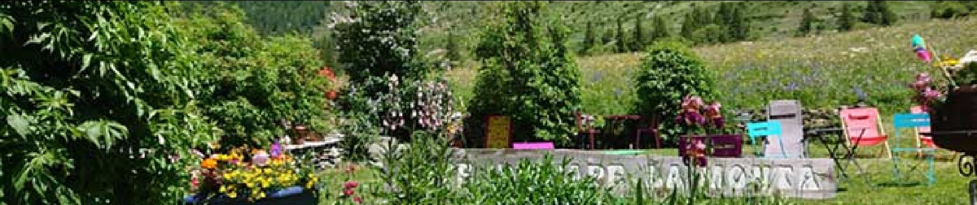
Refuge de la Monta à Abriès

ARVIEU
User
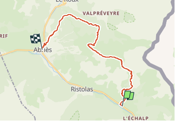

Length
13.6 km

Max alt
2583 m

Uphill gradient
965 m
Km-Effort
27 km

Min alt
1554 m

Downhill gradient
1080 m
Boucle
No
Creation date :
2024-08-17 16:59:25.653
Updated on :
2024-08-21 09:57:01.515
6h00
Difficulty : Difficult

FREE GPS app for hiking
 SityTrail
IGN / Geographical institutes
SityTrail Plus
The world is yours!
About
Trail Walking of 13.6 km to be discovered at Provence-Alpes-Côte d'Azur, Hautes-Alpes, Abriès-Ristolas. This trail is proposed by ARVIEU.
Photos

Positioning
Country:
France
Region :
Provence-Alpes-Côte d'Azur
Department/Province :
Hautes-Alpes
Municipality :
Abriès-Ristolas
Location:
Ristolas
Start:(Dec)
Start:(UTM)
340485 ; 4958864 (32T) N.
Comments