


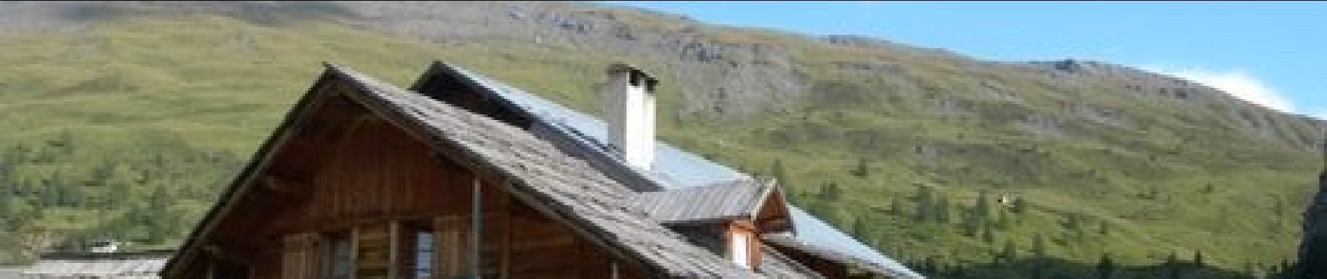
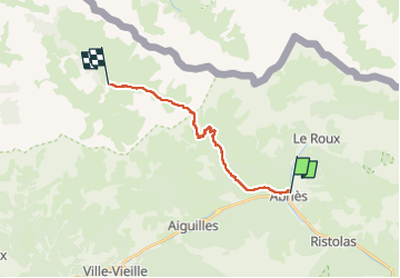
Abriès - Les Fonts de Cervières

ARVIEU
User

Length
14.8 km

Max alt
2815 m

Uphill gradient
1280 m
Km-Effort
30 km

Min alt
1556 m

Downhill gradient
783 m
Boucle
No
Creation date :
2024-08-17 17:06:12.141
Updated on :
2024-08-21 09:55:36.532
8h00
Difficulty : Very difficult

FREE GPS app for hiking
 SityTrail
IGN / Geographical institutes
SityTrail Plus
The world is yours!
About
Trail Walking of 14.8 km to be discovered at Provence-Alpes-Côte d'Azur, Hautes-Alpes, Abriès-Ristolas. This trail is proposed by ARVIEU.
Photos

Positioning
Country:
France
Region :
Provence-Alpes-Côte d'Azur
Department/Province :
Hautes-Alpes
Municipality :
Abriès-Ristolas
Location:
Unknown
Start:(Dec)
Start:(UTM)
336141 ; 4962312 (32T) N.
Comments