


Domats 240818

Specialized77
User GUIDE
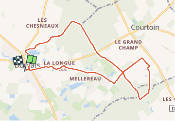

Length
10.2 km

Max alt
197 m

Uphill gradient
79 m
Km-Effort
11.2 km

Min alt
160 m

Downhill gradient
80 m
Boucle
Yes
Creation date :
2024-08-18 07:04:31.658
Updated on :
2024-08-18 19:30:38.34
2h39
Difficulty : Very easy

FREE GPS app for hiking
 SityTrail
IGN / Geographical institutes
SityTrail Plus
The world is yours!
About
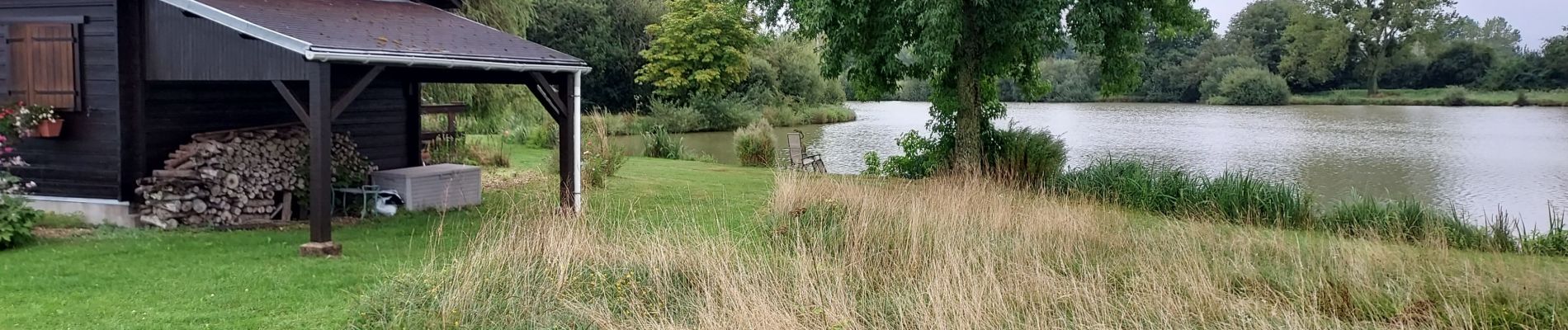
Trail Walking of 10.2 km to be discovered at Bourgogne-Franche-Comté, Yonne, Domats. This trail is proposed by Specialized77.
Description
Avec Paron Rebondir
Photos

Positioning
Country:
France
Region :
Bourgogne-Franche-Comté
Department/Province :
Yonne
Municipality :
Domats
Location:
Unknown
Start:(Dec)
Start:(UTM)
504907 ; 5328921 (31U) N.
Comments