


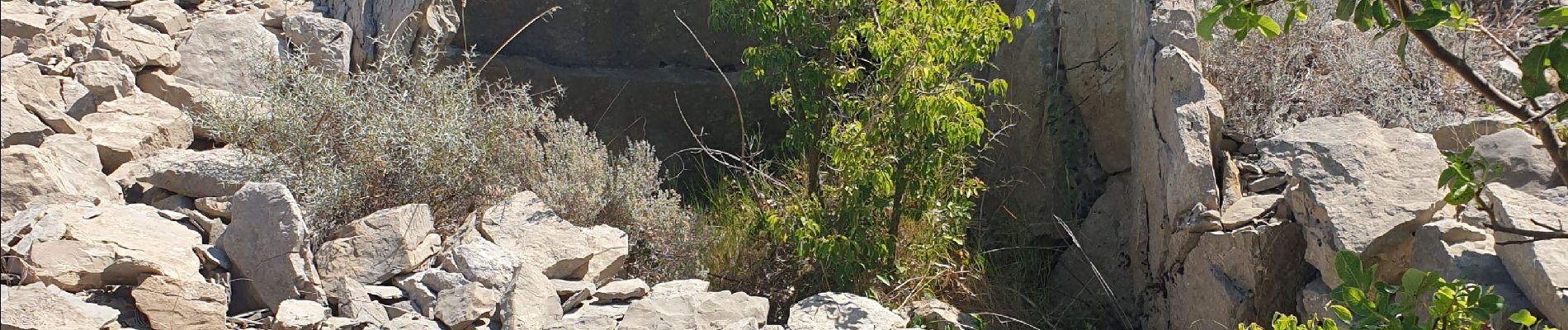
dolmen cazevielle

JMJ42
User
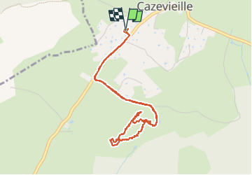

Length
5 km

Max alt
286 m

Uphill gradient
62 m
Km-Effort
5.8 km

Min alt
264 m

Downhill gradient
62 m
Boucle
Yes
Creation date :
2024-08-18 08:41:28.652
Updated on :
2024-08-18 10:54:52.816
1h34
Difficulty : Easy

FREE GPS app for hiking
 SityTrail
IGN / Geographical institutes
SityTrail Plus
The world is yours!
About
Trail Walking of 5 km to be discovered at Occitania, Hérault, Cazevieille. This trail is proposed by JMJ42.
Photos


Positioning
Country:
France
Region :
Occitania
Department/Province :
Hérault
Municipality :
Cazevieille
Location:
Unknown
Start:(Dec)
Start:(UTM)
563087 ; 4846384 (31T) N.
Comments