


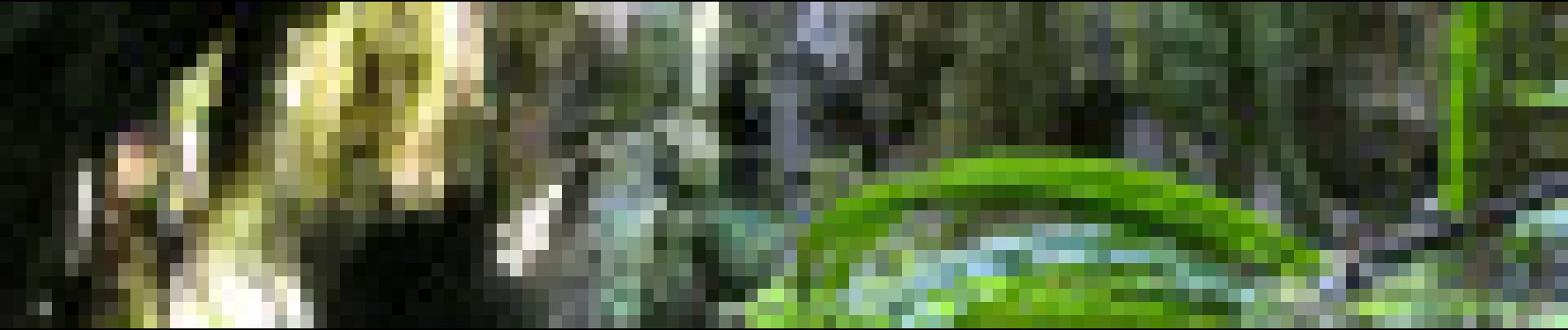
Descente des Canallettes à la source du Durzon

ARVIEU
User
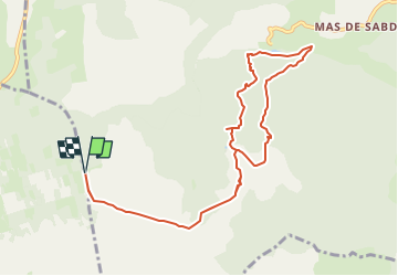

Length
10.9 km

Max alt
717 m

Uphill gradient
266 m
Km-Effort
14.5 km

Min alt
522 m

Downhill gradient
266 m
Boucle
Yes
Creation date :
2024-08-19 11:35:48.956
Updated on :
2024-08-19 11:41:51.748
3h17
Difficulty : Medium

FREE GPS app for hiking
 SityTrail
IGN / Geographical institutes
SityTrail Plus
The world is yours!
About
Trail Walking of 10.9 km to be discovered at Occitania, Aveyron, Nant. This trail is proposed by ARVIEU.
Description
Belle randonnée très variée. Au programme, trois grottes dont la grotte "éclairée", une lavogne, une belle arche naturelle et les fameuses canalettes (ou canoles).
Photos


Positioning
Country:
France
Region :
Occitania
Department/Province :
Aveyron
Municipality :
Nant
Location:
Unknown
Start:(Dec)
Start:(UTM)
518943 ; 4869422 (31T) N.
Comments