


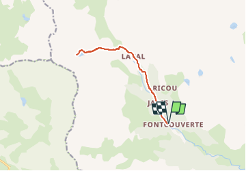
LAC DES BÉRAUDES DEPUIS FONTCOUVERTE

jpb83
User

Length
12.6 km

Max alt
2526 m

Uphill gradient
696 m
Km-Effort
22 km

Min alt
1862 m

Downhill gradient
696 m
Boucle
Yes
Creation date :
2024-08-21 07:35:35.341
Updated on :
2024-08-21 07:35:38.284
4h58
Difficulty : Medium

FREE GPS app for hiking
 SityTrail
IGN / Geographical institutes
SityTrail Plus
The world is yours!
About
Trail Walking of 12.6 km to be discovered at Provence-Alpes-Côte d'Azur, Hautes-Alpes, Névache. This trail is proposed by jpb83.
Positioning
Country:
France
Region :
Provence-Alpes-Côte d'Azur
Department/Province :
Hautes-Alpes
Municipality :
Névache
Location:
Unknown
Start:(Dec)
Start:(UTM)
306747 ; 4989619 (32T) N.
Comments