


pertou

suzanne.bron
User
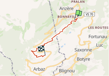

Length
4.3 km

Max alt
1370 m

Uphill gradient
71 m
Km-Effort
5.6 km

Min alt
1256 m

Downhill gradient
162 m
Boucle
No
Creation date :
2024-08-21 07:36:58.703
Updated on :
2024-08-21 09:26:16.511
1h48
Difficulty : Easy

FREE GPS app for hiking
 SityTrail
IGN / Geographical institutes
SityTrail Plus
The world is yours!
About
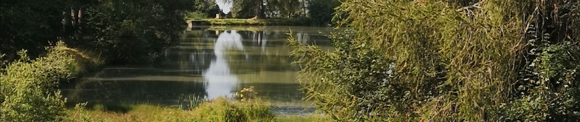
Trail Walking of 4.3 km to be discovered at Valais/Wallis, Hérens, Ayent. This trail is proposed by suzanne.bron.
Photos

Positioning
Country:
Switzerland
Region :
Valais/Wallis
Department/Province :
Hérens
Municipality :
Ayent
Location:
Unknown
Start:(Dec)
Start:(UTM)
377044 ; 5127794 (32T) N.
Comments