


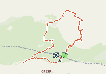


7.2 km | 11.2 km-effort


User


FREE GPS app for hiking
 SityTrail
IGN / Geographical institutes
SityTrail World
The world is yours!
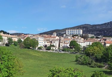
Trail Walking of 11.7 km to be discovered at Provence-Alpes-Côte d'Azur, Maritime Alps, Caussols. This trail is proposed by jlrayon.
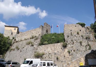
Parking de l'Observatoire, Grotte Aven des Baudillouns, Grotte du Tombeau, Aven de l' Enclos, Aven Moustique Chapelle souterraine N.D. de Calern, Retour à l'Observatoire


Walking

Walking
On foot
On foot

On foot
On foot

On foot
On foot
On foot