rougier

Paulodst
User
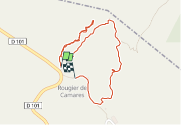

Length
1.3 km

Max alt
507 m

Uphill gradient
45 m
Km-Effort
1.9 km

Min alt
464 m

Downhill gradient
43 m
Boucle
Yes
Creation date :
2024-08-26 08:57:54.751
Updated on :
2024-08-26 09:46:48.532
27m
Difficulty : Easy

FREE GPS app for hiking
 SityTrail
IGN / Geographical institutes
SityTrail Plus
The world is yours!
About
Trail Walking of 1.3 km to be discovered at Occitania, Aveyron, Camarès. This trail is proposed by Paulodst.
Description
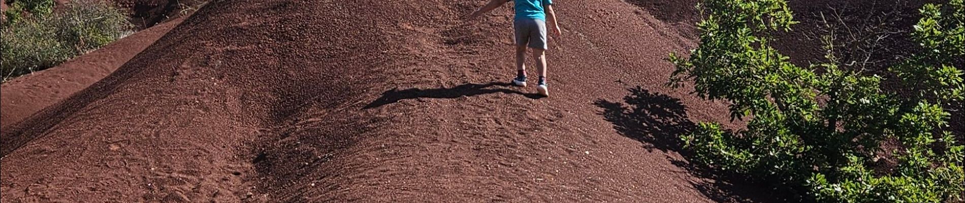
terre rouge
Photos

Positioning
Country:
France
Region :
Occitania
Department/Province :
Aveyron
Municipality :
Camarès
Location:
Unknown
Start:(Dec)
Start:(UTM)
491895 ; 4855043 (31T) N.
Comments