


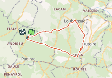
Padirac_v2

LANDRIEU
User

Length
14.5 km

Max alt
418 m

Uphill gradient
294 m
Km-Effort
18.4 km

Min alt
288 m

Downhill gradient
295 m
Boucle
Yes
Creation date :
2024-08-29 16:26:23.756
Updated on :
2024-08-29 16:26:53.685
4h11
Difficulty : Difficult

FREE GPS app for hiking
 SityTrail
IGN / Geographical institutes
SityTrail Plus
The world is yours!
About
Trail Walking of 14.5 km to be discovered at Occitania, Lot, Padirac. This trail is proposed by LANDRIEU.
Positioning
Country:
France
Region :
Occitania
Department/Province :
Lot
Municipality :
Padirac
Location:
Unknown
Start:(Dec)
Start:(UTM)
401393 ; 4967876 (31T) N.
Comments