


Caramantran

LauVan
User

Length
7.2 km

Max alt
3007 m

Uphill gradient
401 m
Km-Effort
12.8 km

Min alt
2567 m

Downhill gradient
454 m
Boucle
No
Creation date :
2024-08-21 08:25:54.831
Updated on :
2024-08-31 13:53:12.006
4h00
Difficulty : Medium

FREE GPS app for hiking
 SityTrail
IGN / Geographical institutes
SityTrail Plus
The world is yours!
About
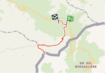
Trail Walking of 7.2 km to be discovered at Provence-Alpes-Côte d'Azur, Hautes-Alpes, Molines-en-Queyras. This trail is proposed by LauVan.
Positioning
Country:
France
Region :
Provence-Alpes-Côte d'Azur
Department/Province :
Hautes-Alpes
Municipality :
Molines-en-Queyras
Location:
Unknown
Start:(Dec)
Start:(UTM)
339601 ; 4950488 (32T) N.
Comments