


ballade Marc forêt l'Isle adam

bendoush
User
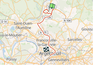

Length
36 km

Max alt
125 m

Uphill gradient
345 m
Km-Effort
41 km

Min alt
25 m

Downhill gradient
394 m
Boucle
No
Creation date :
2024-08-31 13:14:57.4
Updated on :
2024-08-31 16:36:16.815
3h20
Difficulty : Medium

FREE GPS app for hiking
 SityTrail
IGN / Geographical institutes
SityTrail Plus
The world is yours!
About
Trail Walking of 36 km to be discovered at Ile-de-France, Val-d'Oise, L'Isle-Adam. This trail is proposed by bendoush.
Positioning
Country:
France
Region :
Ile-de-France
Department/Province :
Val-d'Oise
Municipality :
L'Isle-Adam
Location:
Unknown
Start:(Dec)
Start:(UTM)
444544 ; 5437958 (31U) N.
Comments