


Domi

topolino
User
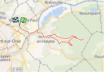

Length
15.3 km

Max alt
111 m

Uphill gradient
187 m
Km-Effort
17.8 km

Min alt
24 m

Downhill gradient
188 m
Boucle
Yes
Creation date :
2024-08-31 17:58:17.0
Updated on :
2024-08-31 17:58:21.545
0m
Difficulty : Easy

FREE GPS app for hiking
 SityTrail
IGN / Geographical institutes
SityTrail Plus
The world is yours!
About
Trail Running of 15.3 km to be discovered at Hauts-de-France, Oise, Villers-Saint-Paul. This trail is proposed by topolino.
Positioning
Country:
France
Region :
Hauts-de-France
Department/Province :
Oise
Municipality :
Villers-Saint-Paul
Location:
Unknown
Start:(Dec)
Start:(UTM)
462747 ; 5459077 (31U) N.
Comments