


A l’ascension de la roche Noire

choubaka77
User

Length
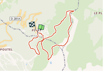
10.2 km

Max alt
2102 m

Uphill gradient
601 m
Km-Effort
18.2 km

Min alt
1515 m

Downhill gradient
599 m
Boucle
Yes
Creation date :
2024-09-01 08:32:28.0
Updated on :
2024-09-01 13:25:48.889
4h24
Difficulty : Medium

FREE GPS app for hiking
 SityTrail
IGN / Geographical institutes
SityTrail Plus
The world is yours!
About
Trail Walking of 10.2 km to be discovered at Auvergne-Rhône-Alpes, Isère, Theys. This trail is proposed by choubaka77.
Description
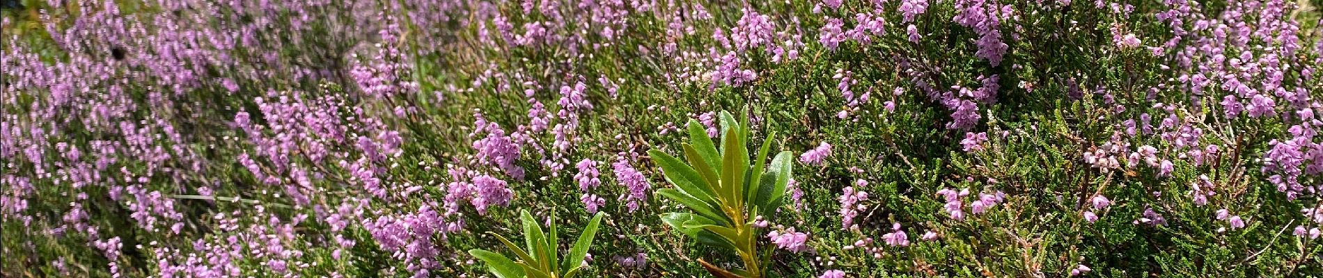
Belle boucle avec un petit passage aérien pour la roche Noire et de magnifiques panoramas
Photos


Positioning
Country:
France
Region :
Auvergne-Rhône-Alpes
Department/Province :
Isère
Municipality :
Theys
Location:
Unknown
Start:(Dec)
Start:(UTM)
265897 ; 5016557 (32T) N.
Comments