


GS 2024_09 Terlanen

Mercenier
User
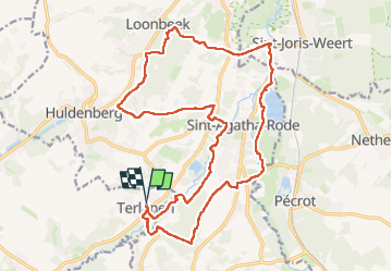

Length
21 km

Max alt
101 m

Uphill gradient
313 m
Km-Effort
25 km

Min alt
26 m

Downhill gradient
313 m
Boucle
Yes
Creation date :
2024-09-01 08:02:49.591
Updated on :
2024-09-01 14:53:02.285
6h47
Difficulty : Very difficult

FREE GPS app for hiking
 SityTrail
IGN / Geographical institutes
SityTrail Plus
The world is yours!
About
Trail Walking of 21 km to be discovered at Flanders, Flemish Brabant, Overijse. This trail is proposed by Mercenier.
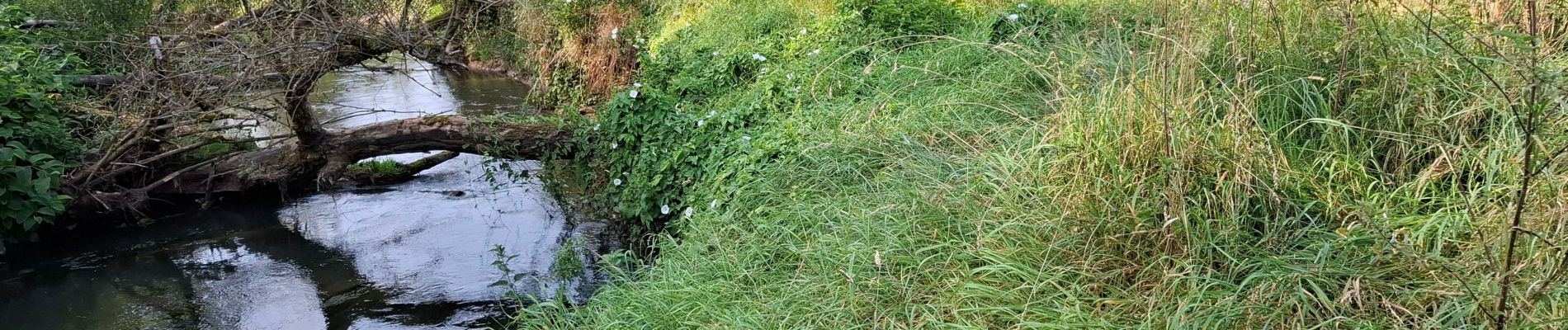
Photos


33 photos in total. Please click on a photo to see them all in the gallery.
Positioning
Country:
Belgium
Region :
Flanders
Department/Province :
Flemish Brabant
Municipality :
Overijse
Location:
Unknown
Start:(Dec)
Start:(UTM)
613051 ; 5625593 (31U) N.
Comments