


rando estourials bosc

prof_physique
User
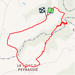

Length
5.9 km

Max alt
522 m

Uphill gradient
150 m
Km-Effort
7.9 km

Min alt
413 m

Downhill gradient
149 m
Boucle
Yes
Creation date :
2014-12-10 00:00:00.0
Updated on :
2014-12-10 00:00:00.0
--
Difficulty : Unknown

FREE GPS app for hiking
 SityTrail
IGN / Geographical institutes
SityTrail Plus
The world is yours!
About
Trail Walking of 5.9 km to be discovered at Occitania, Aveyron, Lédergues. This trail is proposed by prof_physique.
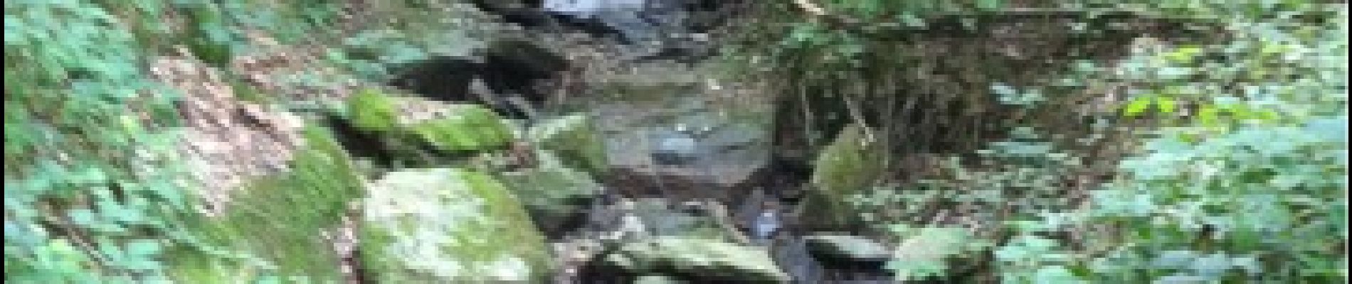
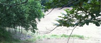
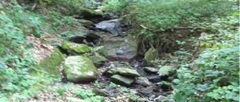
Photos


Positioning
Country:
France
Region :
Occitania
Department/Province :
Aveyron
Municipality :
Lédergues
Location:
Unknown
Start:(Dec)
Start:(UTM)
459382 ; 4879502 (31T) N.
Comments