


MARQUENTERRE: reconnaissance / départ du tour (16 Km) via la plage...

djeepee74
User
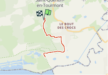

Length
6.4 km

Max alt
13 m

Uphill gradient
26 m
Km-Effort
6.7 km

Min alt
5 m

Downhill gradient
26 m
Boucle
Yes
Creation date :
2024-09-04 16:03:32.917
Updated on :
2024-09-08 13:35:44.984
1h31
Difficulty : Medium

FREE GPS app for hiking
 SityTrail
IGN / Geographical institutes
SityTrail Plus
The world is yours!
About
Trail Walking of 6.4 km to be discovered at Hauts-de-France, Somme, Saint-Quentin-en-Tourmont. This trail is proposed by djeepee74.
Description
A/R ... live du 20240904
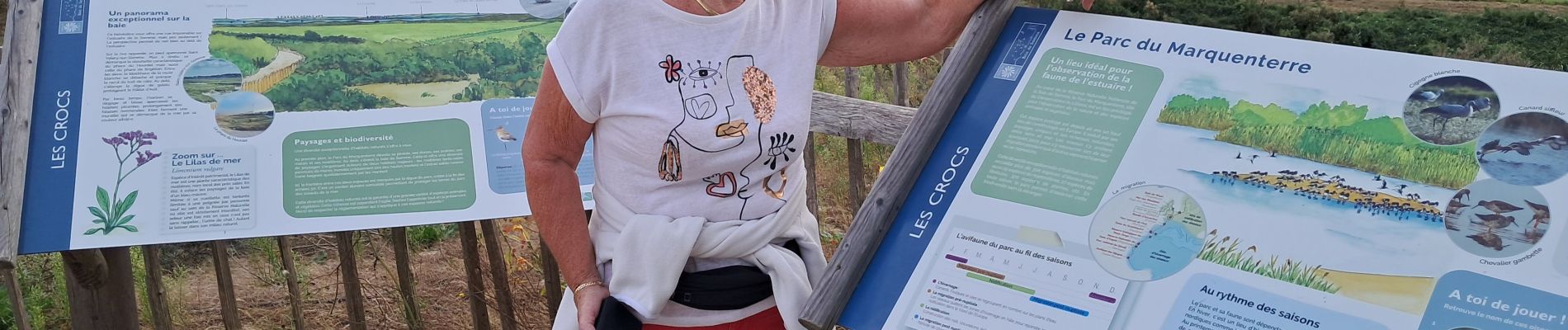
Tous les chemins ou sentiers du lieu-dit " la Mouillerette " sont privés et en espace fermé, clôturant le "Parc du Marquenterre".
Photos
 via la plage... - Photo 1")
Positioning
Country:
France
Region :
Hauts-de-France
Department/Province :
Somme
Municipality :
Saint-Quentin-en-Tourmont
Location:
Unknown
Start:(Dec)
Start:(UTM)
399361 ; 5570167 (31U) N.
Comments