


Zumaia

antignacs
User GUIDE


Length
8.7 km

Max alt
201 m

Uphill gradient
258 m
Km-Effort
12.1 km

Min alt
-6 m

Downhill gradient
257 m
Boucle
Yes
Creation date :
2024-09-08 14:49:24.0
Updated on :
2024-09-08 17:37:33.65
2h22
Difficulty : Difficult

FREE GPS app for hiking
 SityTrail
IGN / Geographical institutes
SityTrail Plus
The world is yours!
About
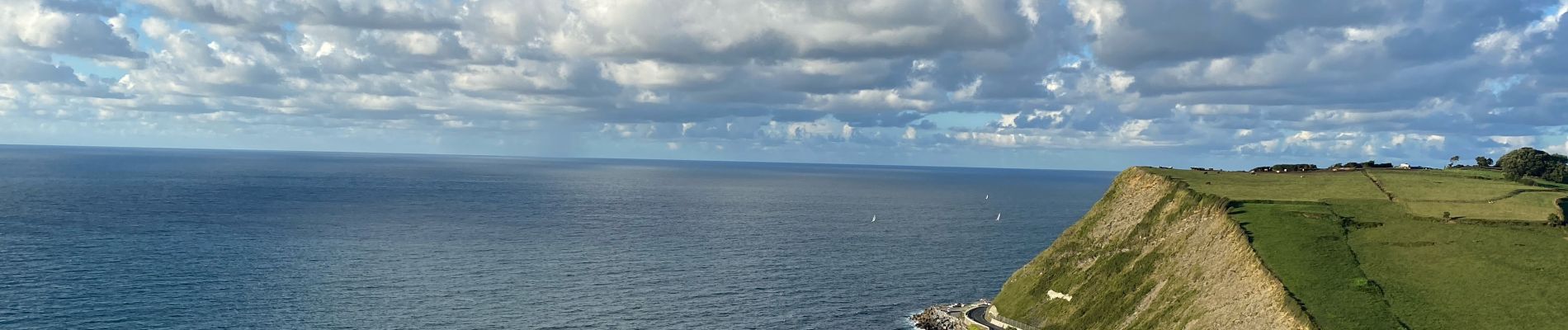
Trail Walking of 8.7 km to be discovered at Autonomous Community of the Basque Country, Gipuzkoa, Getaria. This trail is proposed by antignacs.
Photos


Positioning
Country:
Spain
Region :
Autonomous Community of the Basque Country
Department/Province :
Gipuzkoa
Municipality :
Getaria
Location:
Unknown
Start:(Dec)
Start:(UTM)
562410 ; 4794767 (30T) N.
Comments