


Etape 3 Cabrenets Bouziès St Cirq Bouziés

nadinebondoux
User GUIDE
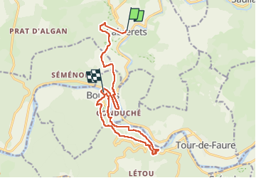

Length
16.2 km

Max alt
339 m

Uphill gradient
584 m
Km-Effort
24 km

Min alt
129 m

Downhill gradient
601 m
Boucle
No
Creation date :
2024-09-09 07:14:17.122
Updated on :
2025-01-27 16:32:57.24
5h21
Difficulty : Medium

FREE GPS app for hiking
 SityTrail
IGN / Geographical institutes
SityTrail Plus
The world is yours!
About
Trail Walking of 16.2 km to be discovered at Occitania, Lot, Cabrerets. This trail is proposed by nadinebondoux.
Description
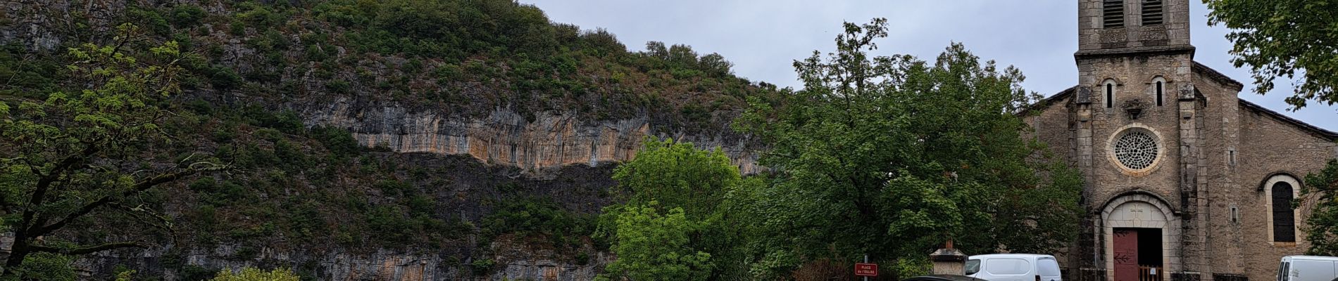
Vallée du Célé
Photos


26 photos in total. Please click on a photo to see them all in the gallery.
Positioning
Country:
France
Region :
Occitania
Department/Province :
Lot
Municipality :
Cabrerets
Location:
Unknown
Start:(Dec)
Start:(UTM)
393048 ; 4928973 (31T) N.
Comments