


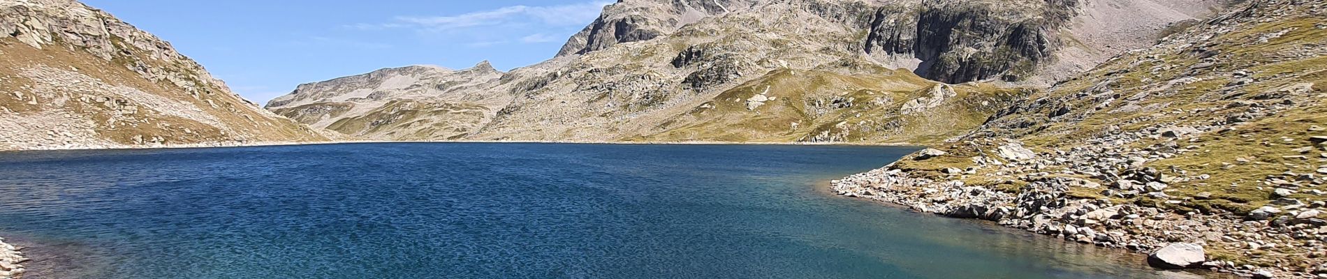
Lac Cos

jacky.26sp
User
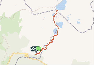

Length
10.3 km

Max alt
2185 m

Uphill gradient
917 m
Km-Effort
23 km

Min alt
1256 m

Downhill gradient
926 m
Boucle
Yes
Creation date :
2024-09-07 06:25:37.134
Updated on :
2024-09-09 17:02:04.732
7h00
Difficulty : Very difficult

FREE GPS app for hiking
 SityTrail
IGN / Geographical institutes
SityTrail Plus
The world is yours!
About
Trail Walking of 10.3 km to be discovered at Auvergne-Rhône-Alpes, Isère, Allemond. This trail is proposed by jacky.26sp.
Photos

Positioning
Country:
France
Region :
Auvergne-Rhône-Alpes
Department/Province :
Isère
Municipality :
Allemond
Location:
Unknown
Start:(Dec)
Start:(UTM)
269270 ; 5010532 (32T) N.
Comments