


Champigny-sur-Veude - Richelieu Chaveignes - 23.2km 180m 5h15 (50mn) - 2024 09 10

Orcal37
User GUIDE
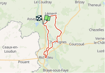

Length
23 km

Max alt
109 m

Uphill gradient
180 m
Km-Effort
26 km

Min alt
42 m

Downhill gradient
179 m
Boucle
Yes
Creation date :
2024-09-10 08:45:46.993
Updated on :
2024-09-11 12:56:22.713
5h15
Difficulty : Easy

FREE GPS app for hiking
 SityTrail
IGN / Geographical institutes
SityTrail Plus
The world is yours!
About
Trail Walking of 23 km to be discovered at Centre-Loire Valley, Indre-et-Loire, Champigny-sur-Veude. This trail is proposed by Orcal37.
Description
Champigny-sur-Veude - Richelieu - Chaveignes - via PRs de Champigny et de Chaveignes - 23.2km 180m 5h15 (50mn) - 2024 09 10
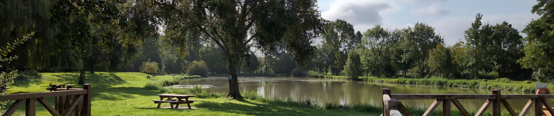
Photos
 - 2024 09 10 - Photo 1")
 - 2024 09 10 - Photo 2")
 - 2024 09 10 - Photo 3")
 - 2024 09 10 - Photo 4")
 - 2024 09 10 - Photo 5")
 - 2024 09 10 - Photo 6")
 - 2024 09 10 - Photo 7")
 - 2024 09 10 - Photo 8")
 - 2024 09 10 - Photo 9")
 - 2024 09 10 - Photo 10")
 - 2024 09 10 - Photo 11")
 - 2024 09 10 - Photo 12")
 - 2024 09 10 - Photo 13")
 - 2024 09 10 - Photo 14")
 - 2024 09 10 - Photo 15")
 - 2024 09 10 - Photo 16")
 - 2024 09 10 - Photo 17")
 - 2024 09 10 - Photo 18")


Positioning
Country:
France
Region :
Centre-Loire Valley
Department/Province :
Indre-et-Loire
Municipality :
Champigny-sur-Veude
Location:
Unknown
Start:(Dec)
Start:(UTM)
296320 ; 5215890 (31T) N.
Comments