


La vallée du Célé

Roger Philippe Wallez
User GUIDE
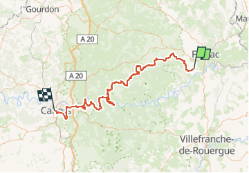

Length
111 km

Max alt
356 m

Uphill gradient
3094 m
Km-Effort
153 km

Min alt
112 m

Downhill gradient
3295 m
Boucle
No
Creation date :
2024-09-07 06:29:45.0
Updated on :
2024-09-12 20:22:40.372
35h59
Difficulty : Very difficult

FREE GPS app for hiking
 SityTrail
IGN / Geographical institutes
SityTrail Plus
The world is yours!
About
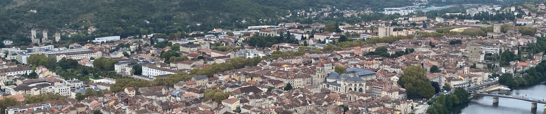
Trail Walking of 111 km to be discovered at Occitania, Lot, Faycelles. This trail is proposed by Roger Philippe Wallez.
Photos


37 photos in total. Please click on a photo to see them all in the gallery.
Positioning
Country:
France
Region :
Occitania
Department/Province :
Lot
Municipality :
Faycelles
Location:
Unknown
Start:(Dec)
Start:(UTM)
419502 ; 4935338 (31T) N.
Comments