


Boucle Kergerac-Pen Bé

kayamb
User
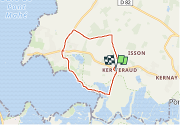

Length
5.4 km

Max alt
21 m

Uphill gradient
28 m
Km-Effort
5.8 km

Min alt
-3 m

Downhill gradient
30 m
Boucle
Yes
Creation date :
2024-09-13 07:36:25.0
Updated on :
2024-09-13 08:16:19.389
38m
Difficulty : Easy

FREE GPS app for hiking
 SityTrail
IGN / Geographical institutes
SityTrail Plus
The world is yours!
About
Trail Trail of 5.4 km to be discovered at Pays de la Loire, Loire-Atlantique, Assérac. This trail is proposed by kayamb.
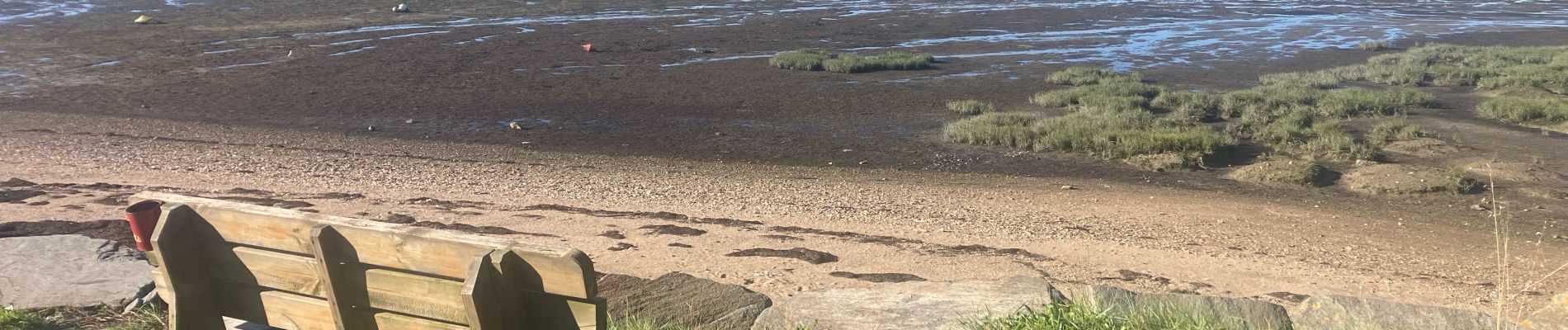
Photos

Positioning
Country:
France
Region :
Pays de la Loire
Department/Province :
Loire-Atlantique
Municipality :
Assérac
Location:
Unknown
Start:(Dec)
Start:(UTM)
543302 ; 5252207 (30T) N.
Comments