


franchard

aubr
User
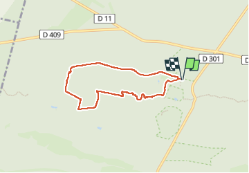

Length
6.3 km

Max alt
142 m

Uphill gradient
87 m
Km-Effort
7.4 km

Min alt
89 m

Downhill gradient
87 m
Boucle
Yes
Creation date :
2024-09-14 12:52:38.037
Updated on :
2024-09-14 16:34:48.164
1h41
Difficulty : Medium

FREE GPS app for hiking
 SityTrail
IGN / Geographical institutes
SityTrail Plus
The world is yours!
About
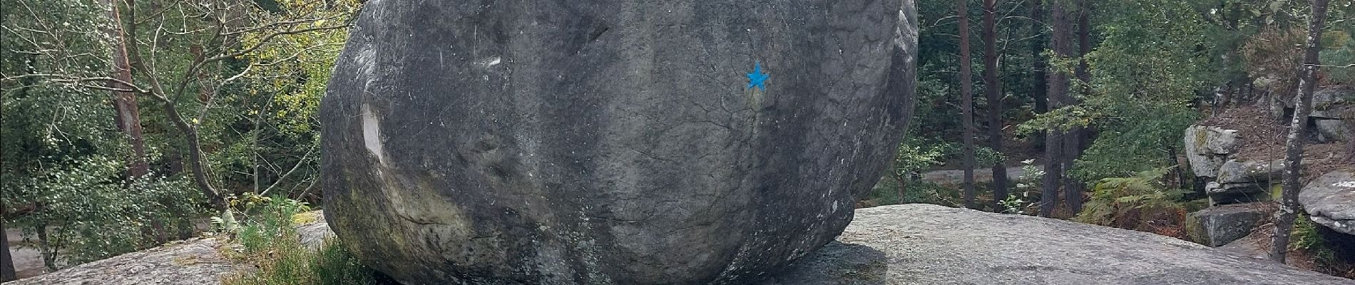
Trail Walking of 6.3 km to be discovered at Ile-de-France, Seine-et-Marne, Fontainebleau. This trail is proposed by aubr.
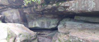
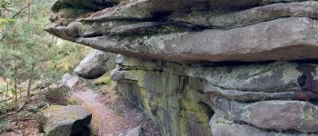
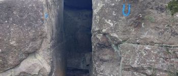
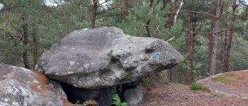
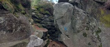
Photos


Positioning
Country:
France
Region :
Ile-de-France
Department/Province :
Seine-et-Marne
Municipality :
Fontainebleau
Location:
Unknown
Start:(Dec)
Start:(UTM)
473049 ; 5361815 (31U) N.
Comments